I left the rain in Hue and took off for sunny Saigon. Before you go all political on me and say that I should be referring to Saigon as Ho Chi Minh City, I will point out that the only people who call it Ho Chi Minh city are government officials and the airlines--and even then, the airport code is SGN. Along the way I was able to get some nice aerial shots of the Vietnamese countryside and the outskirts of Saigon.
 |
| Riverside village in south-central Vietnam Dark spots are crud on the camera's sensor :-( |
 |
| Small city in south-central Vietnam |
|
 |
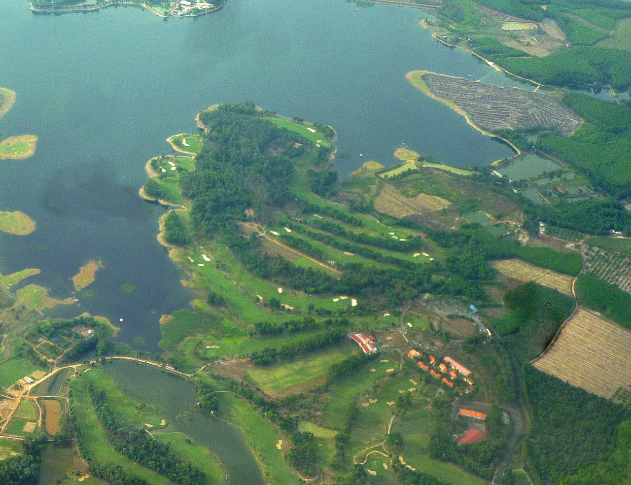
| Golf course near Saigon |
 |
| Outskirts of Saigon |
 |
| Outskirts of Saigon |
 |
| Outskirts of Saigon |
 |
| Descending into Saigon |
|
 |
| Descending into Saigon |
 |
| Descending into Saigon. Note the tall, skinny houses. |
 |
| Descending into Saigon |
 |
| Almost on the ground! |
For those of you old enough to remember TV coverage of the Vietnam war, the reporters frequently mentioned (or reported from) Tan Son Nhut Air Base. The air base is now Saigon's airport, although they have changed the spelling to Tan Son Nhat.
 |
| Old construction next to the airport runway. I'm thinking (but not sure) that this might be from the old airbase. UPDATE: A friend of mine who is a Vietnam veteran says they were used (and presumably built) during the war. |
 |
| Not to worry, they have modernized the terminal since the war. |
After landing I met my guide and driver and we headed for my hotel. My guide was about my age (that is to say, about 35 years older than all of the other guides on the trip), and he had served in the South Vietnamese army during the war. As you might guess, he is one of the many people in Vietnam who probably doesn't have a picture of Ho Chi Minh in his house--more on that later.
On the way in from the airport, I was very impressed with how modern and thriving Saigon was. Lots of wide boulevards and modern houses. I was expecting Saigon to be even more "moldy" that Hue was, but that was not the case. I was also expecting oppressive heat and humidity, but the temperature was about 80 degrees Fahrenheit, with only moderate humidity. Here are a few shots from the drive in.
 |
| This is the end of the airport access road going into town. The airport is surrounded by the city. I read that they are going to build a new airport out in the country. |
 |
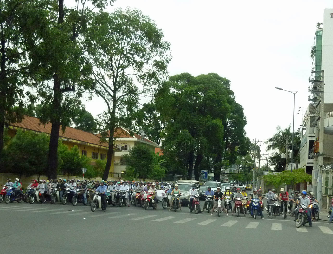
| A park in the median near the airport. Note the official symbol of Vietnam--a motorcyclist wearing a face mask. |
 |
| An intersection coming into the central part of Saigon. |
 |
| On the way to central Saigon |
 |
| On the way to central Saigon |
 |
| Typical wide street in Saigon |
 |
| Approaching the center of the city |
 |
| The motorcycle-to-car ratio was about 3 to 1. |
 |
| The Liberty Central Hotel, my base in Saigon. |
 |
| My room at the Liberty Central |
After settling in at the hotel (which took about 5 minutes), I wandered out for some sightseeing and dinner.
 |
| The street in front of my hotel. |
My first stop was the
Ben Thanh Market, which was about a block from the hotel, and is the main market place in the central city.
 |
| Across from Ben Thanh Market |
 |
| In Ben Thanh Market |
 |
| Outside Ben Thanh Market |
After my visit to the market, I wandered around central Saigon taking some night pictures of some of hte main sights.
 |
| Ho Chi Minh is probably spinning in his grave |
 |
| The Caravelle and Sheraton Hotels. The Caravelle was one of the hotels where military and reporters hung out during the Vietnam War. |
 |
| City Hall |
 |
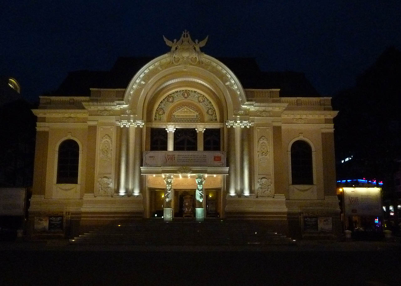
| Opera House |
 |
| Parkson Shopping Mall. Parkson is a chain with several stores in Southeast Asia |
 |
| Dinner outdoors at Quán Ăn Ngon Restaurant |
 |
| Even the beer is called Saigon |
 |
| Back at Ben Thanh Market |
 |
| Outside Ben Thanh Market |
 |
| Food stall at Ben Thanh Market |
 |
| Fruit stand at Ben Thanh Market. At the lower right are durians |
 |
| In case you were wondering where the motorcycle riders get their designer face masks. |
|
|
With that, I retired to my hotel to prepare for the next day's trip to the Cu Chi Tunnels.
Next:
Saigon and the Cu Chi Tunnels.


